Introduction
Unmanned aerial vehicles, or drones, have become an increasingly common sight in disaster response operations around the world. Small, inexpensive consumer drones equipped with cameras can capture high quality photographs and video, create geographically accurate maps, and livestream footage to multiple locations on the ground.
Like many disaster response organizations, National Red Cross and Red Crescent (RCRC) Societies around the world have begun to experiment with using civilian drones to support and streamline their activities and operations. However, up until now, little information existed that attempted to describe or quantify how many RCRC Societies were using drones, or what they were using drones for.
This research project is intended to address this knowledge gap. Our research was carried out using a mixed methods approach, including inquiry within the RCRC network, search engine queries using specific search strings, and 16 telephone or written interviews with RCRC drone users.
The following report is intended to summarize our findings: it is our hope that it will function as a useful source of information that will inform future drone strategy within the RCRC network. The report first provides a brief overview of what drones are and what they are used for in the disaster response sector. It will then list all uses of drone technology by National Red Cross and Red Crescent Societies, the International Federation of Red Cross and Red Crescent Societies (IFRC), and the International Committee of the Red Cross (ICRC) that we were able to identify, alongside brief summaries of their activities and intentions. The discussion portion of this paper, drawing primarily from interview sources, describes some of the benefits and some of the costs of using drone technology for RCRC network activities. Finally, we will put forth suggestions for how the RCRC network might provide support for current or aspiring drone users amongst their members.
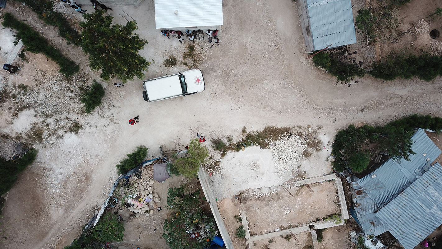
Fig. 2 The view from a drone taking off to map in Canaan, Haiti. | Credit: Dan Joseph, American Red Cross.