Bringing people together around "open" at FedGeoDay
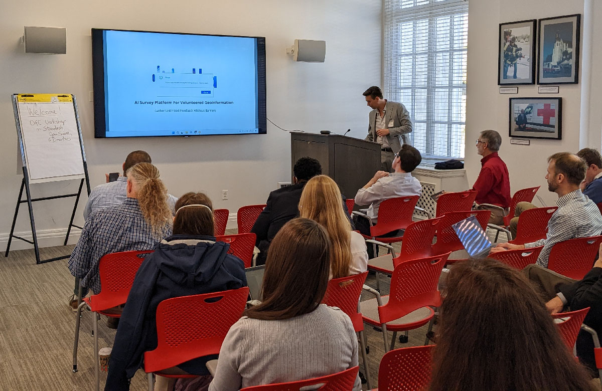
A morning workshop on open information ecosystems for disaster resilience being held at Red Cross Square as part of FedGeoDay.
Coming together around open geospatial technology
FedGeoDay is a unique conference event devoted to open geospatial ecosystems. It brings people together to share and learn about initiating and growing capabilities across the U.S. federal government using open source software, open/collaborative mapping, open science challenges, and related topics. People who attend include U.S. federal government program managers, technology leaders, industry partners, humanitarians, and academics.
First held in 2012 and with the last 2 FedGeoDay events held virtually, the eighth occurrence held this year on November 3rd was back to being in-person in Washington, DC. The American Red Cross was excited to be able to support the event this year by providing space for the morning workshops and evening gathering in Red Cross Square. The afternoon talks were held at the nearby Department of Interior building.
We think FedGeoDay is a valuable chance to learn from, and network with, key people throughout the open geospatial technology community. The Red Cross is part of that space. Our volunteers create and use open geospatial data via OpenStreetMap; such data is key in crisis preparation, response operations, and recovery programs. We’ve contributed to open source tools for surveys and mapping like ODK and MapSwipe. We work alongside federal agencies such as FEMA, when setting up shelters for people forced to leave their homes during a disaster or emergency, and USAID, when supporting the global Red Cross Red Crescent network.
This year did not disappoint. It was exciting to see multiple sessions highlighting topics relevant to our work at the Red Cross, from an opening panel focused on collaborations with OpenStreetMap to using machine learning for flood detection.
The value in open
A misconception is that by choosing free and open instead of a licensed or proprietary option, you will get something that is less professional, less secure, or less reliable. A helpful metaphor is that it is free as in “liberty” not as in “a free lunch.” You are permitted to freely inspect the software, use it as is, and customize it as you see fit. You may need to hire a data analyst, buy computers, or pay for a server; however, you have more freedom and options when choosing how to analyze the data or run the software.
Open source creates opportunities. People come together to build and maintain core tools and coordinate on creating data without being restricted by a single gatekeeper. This makes it easier to scale and to collaborate with partners. The diverse communities that often form around open source and their desire to work together results in new ideas about how to improve the ecosystem in ways that benefit everyone.
Open source also lowers barriers of entry. We’ve seen how paid software is not an equally affordable expense for everyone in the Red Cross and Red Crescent network. By using and investing in free and open source software within our global network, the costs of technology adoption can be lower. You can read more in this blog post by Ivan Gayton, a Humanitarian Innovator, wherein he describes how proprietary software can be a barrier for localization of humanitarian and development work
Building connections, building community
Eddie Pickle of Crunchy Data has helped organize all of the FedGeoDay conferences from the first one in 2012. He notes, “For me, FedGeoDay offers an unequaled opportunity to learn from, and network with, key actors throughout the open geospatial technology sphere. I’ve been doing it for so long as it is the best way to build and maintain the open source ecosystem many programs rely upon!”
Eddie’s convictions are echoed in the experience of Red Crosser Bret Dennis, a leader on the national headquarters humanitarian services team: “I attended the 2022 FedGeoDay and found the event to be quite valuable. A key area of my focus at the American Red Cross is our GIS platform and partnership with Esri. The event enabled me to network with other GIS leaders from a multitude of other organizations, explore new vendors and offerings in the market as well as learn about the Open Geospatial Consortium and the work they are doing in disaster response and recovery in the open source space. I have a number of follow-up meetings planned stemming from FedGeoDay and am excited to attend future events. Hosting events like this that bring together like-minded individuals and sharing information, making new contacts and creating learning opportunities is vital with such fast-moving technologies as GIS represents. I believe it reflects quite favorably on the Red Cross that we devoted time, space and energy to supporting it.”
We love both seeing old friends and meeting new ones. Each year the open geospatial community grows as more people discover reasons to join, of which there are many. Change doesn’t happen overnight, especially in large organizations. It was great to see change take shape, such as a budding knowledge exchange between the Red Cross and the Open Geospatial Consortium.
Let’s meet again
The support of numerous sponsors kept FedGeoDay free for attendees from government, non-profits, and academia. But its location in Washington, DC limits who can attend. We’ll be sure to participate and support other ways of bringing open communities together. There was an increase in virtual meetings during the surges of the covid pandemic, with the shift including both everyday work and events such as conferences. We hope to build on lessons learned for running virtual gatherings to improve access to events. For example, by switching between virtual and in-person for regularly occurring events or through hybrid offerings.
I’m sure there will be more FedGeoDays; in the meantime, check out the complete conference coverage for this year on Project Geospatial or all of the session recordings on their YouTube playlist. We’re looking forward to the next opportunity to talk about all things open and geospatial!
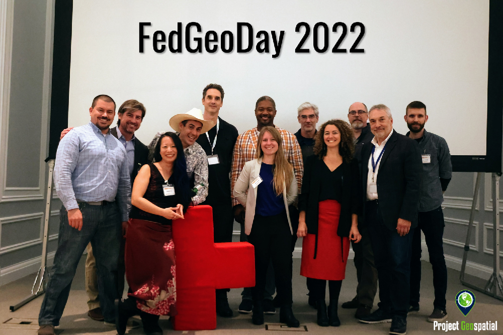
This year’s FedGeoDay organizers. (Image credit: Project GeoSpatial)