POSM 0.7 - Faster and better than ever!
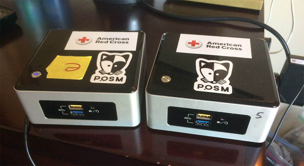
Two POSMs complete with the requisite stickers
This was originally posted on the Missing Maps Blog.
We are pleased to announce a new and improved version of POSM – now faster and slicker than ever!
Based on our experiences in the field, we made a number of improvements and fixes to help it meet our mapping needs more effectively. We’ve just released the updated system as POSM 0̶.̶7̶.̶1̶ ̶(̶c̶o̶d̶e̶n̶a̶m̶e̶:̶ ̶n̶a̶t̶u̶r̶a̶l̶ ̶b̶l̶o̶w̶f̶i̶s̶h̶)̶ 0.7.2 (codename: clear hen).
Additions and improvements include:
- Updates to the admin interface to make the user experience simpler and more straightforward, even as we add functionality.
- Built-in instruction manual. We wrote user-friendly documentation for the set-up and use of POSM and included it in the installer so that it’s available offline.
- Added support for OpenDataKit’s data encryption features. Users can add a private key to their ODK form, upload the form to OpenMapKitServer on POSM, then download and decrypt the data using ODK Briefcase. This is part of our commitment to protecting sensitive information in the field.
- Public file share now easier to find and use – no configuration changes necessary. Users can connect to POSM’s public file share to add files, apps, and other packages that they may need to share with volunteers or staff in the field.
- Selected software components updated (OSM’s iD editor, for example).
- POSM is now faster to install from a USB stick.
- Various small bugs found and fixes applied.
POSM’s new admin interface makes the device easier to navigate and use. Offline instructions are linked on the left and the file share info is easy to find on the home screen.
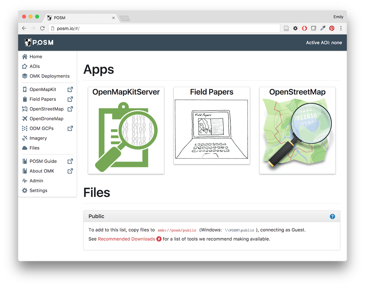
The new POSM interface
We wrote a step-by-step instruction guide where project managers can find everything they need to know about getting, setting up, and using a POSM. Troubleshooting tips are included and the full guide can be accessed online or through the POSM itself.
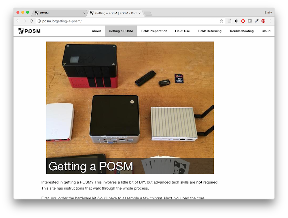
A step-by-step instruction guide is now available
POSM is ready for your offline enumeration, mapping, and imagery needs with its integration of OpenDataKit, OpenMapKit, Field Papers, OpenStreetMap, OpenDroneMap, and the POSM Imagery API.
The build is available here and we encourage everyone using POSM to update their device(s) with this version.
We’re excited about these improvements and hope you are, too!